
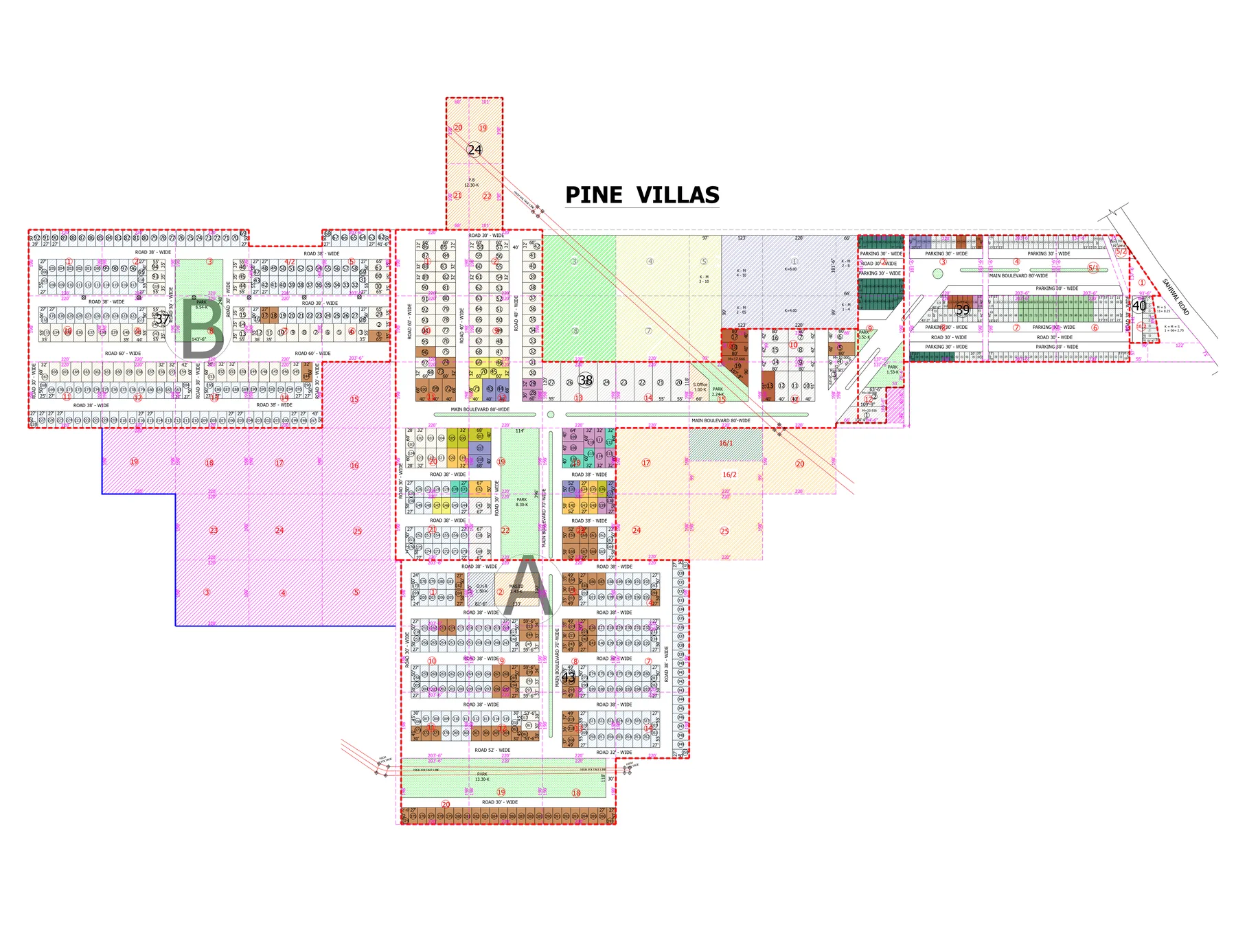
Master Plan
Explore Pine Villas two ways: use the live Google map to find plots and facilities, or open the official PDF layout for the full scheme drawing.
Find plots, parks and facilities on the live map.
The live map contains the scheme boundary, individual plot entries, parks, facilities and a plot-status guide. Tap any item to see the details stored in the map.
The full layout, exactly as supplied.
The official plan shows the complete Pine Villas layout, including plot numbering, road widths, main boulevards, parks and project facilities.
The drawing marks 70-ft and 80-ft main boulevard sections along with several internal road widths across the scheme.
Multiple park areas are identified across the plan, including larger central and edge green spaces.
The plan identifies a masjid, site office and O.H.R./water-tank area as part of the layout.
Use the PDF for the complete drawing and the live map for easier plot lookup and current status layers.
From a plot number to a site visit.
The map is useful for shortlisting. The final decision should still happen with the project team and on the ground.
Open the live map
Zoom in and tap a plot, park or facility to see its map entry.
Note the plot number
Use the live status layer to shortlist the plots you want to ask about.
Call the project team
Confirm availability, price and the latest booking position directly.
Visit the site
Walk the location and confirm the plot position before making a booking decision.
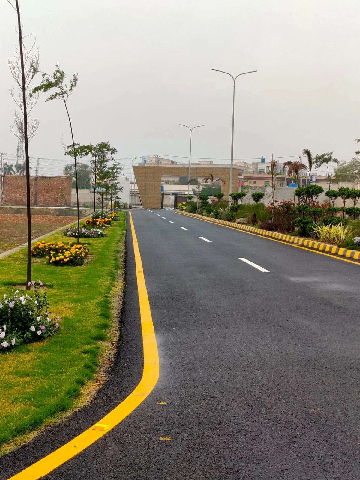
Shortlist your plot online, then see it on ground.
Call Premium Developers to confirm current availability and arrange a Pine Villas site visit.